Use of drones

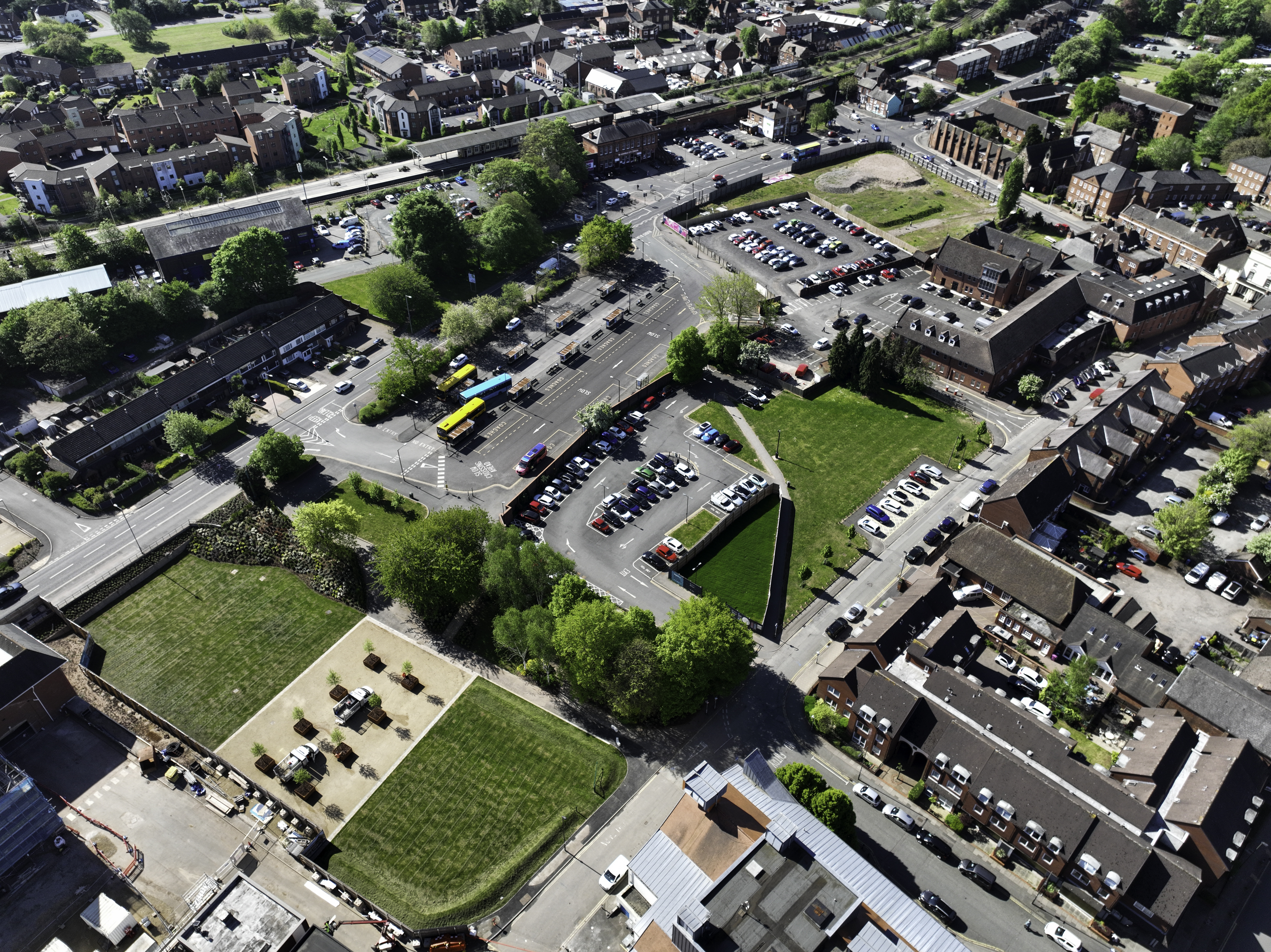
Lichfield District Council uses drones fitted with cameras (sometimes called unmanned aerial vehicles or systems) to aid in delivering some of its functions. They are used by officers in our Environment and Community Protection Service, including those working in Environmental Protection & Housing, Food Safety and Health & Safety, Planning & Listed Building Enforcement, Emergency Planning, and Licensing.
Drones help us to prevent and detect crime, conduct effective criminal investigations, survey land and buildings, and monitor safety at public events. They also help keep our officers safe, and save the Council time and money. For example, an officer responding to reports of an insecure property can use a drone to help confirm that there is nobody inside who might harm them before they enter the property in advance of having it secured. Or, where we need to search for something on enclosed private land, such as animals or waste, instead of losing time applying for a warrant to enter the land we can very quickly achieve the same outcome by using a drone.
Drones used by public authorities in the public interest for activities such as these fall outside the scope of UK drone legislation. However, Lichfield District Council will follow the rules that apply to the Open A1 Category. Lichfield District Council’s Operator ID is GBR-OP-WKKQNJFVMTW3 and the accountable manager is Jack Twomey. Each officer authorised to pilot a drone has passed the Civil Aviation Authority theory test and has a Flyer ID.
Our drones may launch and land from public land or from private land with the owner or occupiers consent. Drones may fly over both public land and private land. Any images or video captured of private land that is not relevant to the purpose of the flight will be deleted.

